 |
Find and use your favorite today!
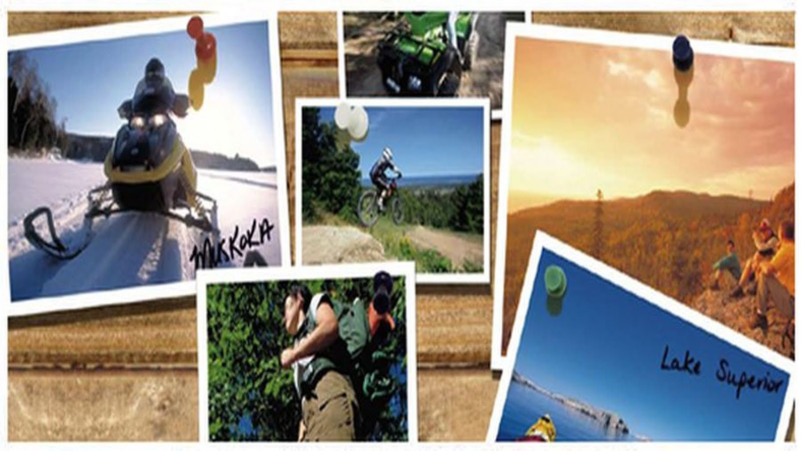
Hamilton Burlington Trails Study
A year long trail survey is being launched next Thursday in an effort to get a more whole understanding of Hamilton and Burlington's trail systems and who uses them.
The Hamilton Burlington Trails Council and McMaster University are heading the project, which will be one of the most extensive trail surveys ever conducted in Ontario, a press release said.
"We already know that trails play a role in improving well-being and quality of life in communities," said survey coordinator Alex Farquharson.

"Really, what we are trying to establish is how our trail network can be improved to better meet the needs of our population."
The survey aims to establish such things as:
Surveys will look specifically at putting together a whole interactive online map of the trails in the two cities, said Wayne Terryberry, HBTC chairperson and McMaster outdoor recreation coordinator.
"We're always finding we need to have more trail user information," he said.
Aside from information, Terryberry said the most important upgrade the trails require is accessibility and amenities like benches and washrooms for an aging population.
The survey groups are looking at other internationally recognized trails – Appalachian, Indianapolis, and Spain – as models for Hamilton and Burlington's paths.
But they're going to need input from locally surveyed trail-walkers, either online or in person, which is going to require volunteers.
Terryberry said the HBTC has between 12 and 15 volunteers for the summer, but they'll be looking for more now and over the course of the year.
"And we're asking those on the trails to take a few minutes out of their day to answer some questions," he said, adding that there was an online option for the impatient trailblazers.
The HBTC and McMaster will be holding an event on July 9th at 9:30 for the survey's launch. Terryberry will be in attendance along with Hamilton Coun. Aidan Johnson and Chris Firth-Eagland of the Hamilton Conservation Authority.
"We're so lucky. We've already got an incredibly scenic view on our trails," said Terryberry. "Now we just want to make sure we have an incredible trail experience."
Support the Kinghorn Trail Development Last fall we started an audit of the rail corridor. This audit captures the good, the bad and the ugly. Using the latest trail auditing software, we are able to capture all the issues that need to be fixed prior to opening the trail. We will finish the audit in the spring for the full length of the line. Please support us in building this legacy trail along Lake Superior. Even a small donation adds up and supports the capital required to upgrade the corridor for Northwestern Ontario's only rail trail!  We have plans to upgrade the railbed surface to accommodate trail users like cyclists, hikers, summer motorized use and snowmobiles in the winter months. As a full multi-use trail, we will be able to keep the trail in the public domain for future generations to enjoy. The rail line doesn't stop at Nipigon but then turns north towards Greenstone. There has been some interest in discussing this as an option but conversations need to occur. Please support this legacy project as we create an amazing trail alongside Lake Superior - the great inland sea. Ontario Trails Education  Healthy Hikes Program!  NTC Projects Underway in Ontario  |
Ontario boasts over 80,000 km in trails. Whether you're in downtown Toronto or North of Superior, we have a trail for you. The Ontario Trails Council is a registered charity, led by volunteers who promote the development, management, use and conservation of Ontario's trails. You'll find everything from gentle walking trails to rock faces for climbing and water routes to canoe and kayak.
Monday, August 31, 2015
Ontario Trails News - Hamilton Burlington Trails Study
Friday, August 28, 2015
Ontario Trails News - Conservation Act Review, Ontario Trail AGM and more Ontario Trails News
|
Find and use your favorite today!
Conservation Authorities Act Review
 With thanks to Beth Potter, Executive Director of Tourism Industry Association of Ontario who brought this to our attention. We will be working together and with our CA members to craft our best comments.
Ontario Trails Council - AGM, User Meeting and Meeting with Minister Coteau
OK so our calendar is filling up fast headed into September. September 4, 2015 - we are holding a meeting for trail user groups September 4 - 12-3pm at Lake Simcoe Region Conservation.  We are specifically inviting user organizations to discuss the following items:
Ontario Trails AGM Plans are underway for the Ontario Trails Council AGM, September 24th 2015. The meeting will be held at the same location as 2014, the Faculty Club at McMaster University.  Meeting with Minister Coteau As the lead organization for trails in Ontario, it's important we meet with the lead Minister for Trails, Minister Michael Coteau. We have a meeting scheduled for September 30th. We encourage you to assist us in making better trails through partnership with government by:
Please consider supporting our work Please consider making a donation or taking out a membership today! We rely on the generous support of the Canadian trail community to allow us to do our work. Our Mission - to promote the preservation, management, use and development of trails.  Everyday, somewhere in Ontario we educate, support a group, lead or assist a community improving its quality of life through trails. Everyday, somewhere in Ontario we educate, support a group, lead or assist a community improving its quality of life through trails.Thanks Need Funding? - Here's a list of where to turn Often we hear from trail groups - most recently North and Central Hastings who want to develop trails, but there is no strategic or business plan in place. Most grants develop programs and services or fund service provision. We want to hear from you - where did you get funding for your strategic plan for your trails? Could include master plan or other plans that involve trails. Thanks. 613-484-1140 execdir@ontariotrails.ca
National Trails Coalition - infrastructure (closed) - but reviewing their grant app would get your docs prepped for a different application
Ontario Trillium Foundation - 4 streams, including capital
There are a number of provincial grant applications you could explore but you have to be registered with the Grants Ontario System to see the applications by Ministry - closed till next round - Capital and Sustainability in September 2015
MEDIE - has a stream - more for eco development, and the Invest in Ontario Funds - I might suggest regional funding streams includes Southern Ontario Prosperity and NOHFC programs
Also the Federal Enabling Accessibility Fund - Eligible Grant Recipients Include:
Not-for-profit organizations; Small businesses; Aboriginal organizations (including band councils, tribal councils and self-government entities); Territorial governments; and, Municipalities are eligible to submit an application only for projects that deliver activities under Priority #1 (enhancing access to recreational spaces for children with disabilities).
Indigenous Peoples Aboriginal Economic Development Fund - grant stream
Ministry of Health Promotion and Sport - Health Communities Fund - Closed May 29th
There are other infrastructure grants you could pursue through the relationships you have with the County - they can use gas tax surplus for infrastructure grants -
Cycling Funds CycleON Strategy
Building cycling infrastructure is important in helping us achieve the vision of #CycleON: Ontario's Cycling Strategy: Ontario as a great place to ride a bike. Due today!
http://news.ontario.ca/mto/en/2015/04/ontario-investing-25-million-in-cycling-infrastructure.html
http://news.ontario.ca/mto/en/2015/07/applications-for-funding-to-promote-cycling-now-open.html
OMAFRA also offers a long list - you'll have to pick a stream and discuss with a program manager
|
Thursday, August 27, 2015
Ontario Trails News - Trailhead Ontario, Renfrew County, Ontario Highlands Tourism Agree to support - June 2016
|
Find and use your favorite today!Renfrew County and Ontario Highlands Tourism Organization agree to host Trailhead Ontario 2016  Planning has begun for Trailhead Ontario 2106. Our hosts are Renfrew County and Ontario Highlands Tourism Organization. Both are long time Ontario Trails Council supporters, and Jason Davies from Renfrew sits on the OTC Board of Directors. The OHTO has been a long time partner with trails running such campaigns as the: ‘Tourism Starts with You’ Campaign
Exploring County Trails
The ‘Tourism Starts with You’ campaign is designed to bring the local community together to identify why Ontario’s Highlands is one of the premiere travel destinations in the province.
The campaign will ask the question, “what are the best things to see and do in the area”, and tourism operators, residents, former visitors, and the like will be able to submit their ideas to the OHTO’s website, and social media channels, such as Facebook and Twitter. This campaign will be promoted online and through local media, and a grand prize will be offered to encourage submissions. This campaign will run into the summer, and may extend to the end of 2011 based on its popularity and success. When the campaign is completed, the OHTO will have an increased online audience, as well as heightened knowledge of what destinations are most valued by the local population. This can assist with future promotions. A page capture from their website illustrates many of the outdoor and trail activities going on in the region  OTC partner Renfrew County  The County of Renfrew owns 51 separate tracts of land covering over 15,800 acres (6,200 hectares) that is managed by a full-time Forestry Division. The County started acquiring abandoned farmlands in the 1950s that were better suited for forest than farming, in partnership with the Ministry of Natural Resources. The County of Renfrew entered into its first forest agreement on December 3, 1951 with the acquisition of 90 hectares in Westmeath Township. Land acquisition throughout the County continued until the 1970s and culminated in a total acquired area exceeding 6,200 hectares. On April 1, 2000, the County assumed full responsibility for these properties. The County of Renfrew owns 51 separate tracts of land covering over 15,800 acres (6,200 hectares) that is managed by a full-time Forestry Division. The County started acquiring abandoned farmlands in the 1950s that were better suited for forest than farming, in partnership with the Ministry of Natural Resources. The County of Renfrew entered into its first forest agreement on December 3, 1951 with the acquisition of 90 hectares in Westmeath Township. Land acquisition throughout the County continued until the 1970s and culminated in a total acquired area exceeding 6,200 hectares. On April 1, 2000, the County assumed full responsibility for these properties.RECREATIONAL TRAILS
In February 2007 County of Renfrew Council accepted a report entitled “The Development of a Trails Strategy” and tasked the Forestry Division with implementing the recommendations contained in the report. The Forestry Division has since instituted regular inspections of existing trails (K&P Corridor), worked with citizen’s groups interested in developing trails within the County, and is actively pursuing opportunities to acquire abandoned rail corridors for new trail development. K&P Corridor Management Plan
Equestrian Trail Event September 18th  |
Wednesday, August 26, 2015
Ontario Trails News - Wikwemikong celebrates the opening of trail and park
|
Find and use your favorite today!
Wikwemikong celebrates the opening of trail and park
 Wikwemikong Tourism manager Luke Wassegijig, left, and Chief Duke Peltier cut the ribbon marking the Point Grondine Trail as officially open
KILLARNEY—Wikwemikong Tourism was joined by various partners and support organizations last Wednesday in Killarney to celebrate the official opening of the Wikwemikong Unceded Indian Reserve’s Point Grondine Park.
After an opening song from Harvey Bell, Wikwemikong Chief Duke Peltier gave the opening remarks. “Thank you for coming to celebrate with us today,” said Chief Peltier. “This park will be a wonderful addition to our tourism offerings here on our territory. This will be our flagship offering, complementing our Rainbow Ridge Golf Course on Manitoulin. On behalf of council I am pleased to offer our congratulations. This park has been a number of years in development, with work starting five years ago, and it is still a work in progress. We are now ready to welcome the public to enjoy our trails and the park. Please join me in giving a round of applause for the Wikwemikong Tourism Department (WTD) for their hard work. I would also like to offer many thanks to Ontario Parks for the training opportunities they provided for our park wardens.”  Mr. Wassegijig explained that in 2007 the Wikwemikong Department of Lands and Resources began this project at Point Grondine to capitalize on the overflow from Killarney Provincial Park. “In 2010 we looked at a plan and created a partnership with Georgian Bay Coast Trail,” continued Mr. Wassegijig. “We have been working hard these last five years, learning how to build trails and training staff. We now have a quality product and our trail staff are now at the point where they are training other First Nations across the province.” “We are here today to celebrate the opening of the park and 21 km of back country trails, including Merv’s Landing, a five kilometer loop, and the 15 km Wemtagoosh Falls Loop, as part of the Georgian Bay Coastal Trail,” added Mr. Wassegijig.  L-R Chief Peltier, Luke Wassegijig, Patrick Connor Ontario Trails/Georgian Bay Coast Trail, and Killarney PP Superintendent Jeremy Pawson. Chief Peltier and Mr. Wassegijig presented a paddle to the mother and sister of the late Merv Pitawanakwat, Rosa and Jean Pitawanakwat. Merv was a dedicated worker on the trail that is named in his memory. They also presented a gift to Colleen Wassegijig-Migwans, manager of Wii-ni n’guch-tood (the Wikwemikong Development Commission) for the organization’s support.
- See more at: http://www.manitoulin.ca/2015/08/26/wikwemikong-celebrates-the-official-opening-of-point-grondine-park/#sthash.0J2BuN8D.dpuf
|
Tuesday, August 25, 2015
Ontario Trails News - great places to hike with the Toronto Region Conservation Authority
Boyd Conservation Area in Vaughan offers escape from urban jungle
Plenty to offer
Nick Iwanyshyn


500 yds
500 yds
© 2015 Microsoft Corporation © 2010 NAVTEQ © AND
© 2015 Microsoft Corporation © 2010 NAVTEQ © AND
Vaughan Citizen
White-tailed deer, rainbow trout, centuries-old hemlock trees and the occasional TV crew.
Those are just some of the things you might spot during a trek along the trails in Vaughan’s Boyd Conservation Area, nestled in the East Humber River valley, just south of Rutherford Road, at 8739 Islington Ave.
Three main trails and several side trails snake through the sprawling park, owned and maintained by the Toronto and Region Conservation Authority (TRCA).
With its myriad amenities – washrooms, soccer pitches, bocce courts, picnic tables – Boyd park is a popular spot for large group picnics, corporate and non-profit functions, cross-country running events and summer camps, among other things.
In the last few years, it has also become a bit of a hotspot for locally shot television shows, especially in the winter.
Given all that activity, you’re unlikely to find yourself alone, at least not in the open areas, but once you hit the trails, it becomes much more serene and, depending on the time of day, you might not encounter a single soul.
Pierre and Janet Berton Trail
Of the three main trails running through the park, the Pierre and Janet Berton is arguably the most publicized.
Getting there requires driving about 1.5 kilometres into the park from the main entrance off Islington Avenue, but there are ample signs to help you find your way.
There’s a large stone marker at the trailhead bearing the honorees’ names.
The 1km loop trail existed for decades, but underwent improvements several years ago and was officially dedicated in May 2011 to recognize the prolific Canadian author and journalist and his family for supporting the Friends of Boyd Park, a local group that successfully stopped the proposed extension of Pine Valley Drive through the conservation area.
The hard-packed dirt trail runs through a forested area of the park, which has been deemed environmentally sensitive, according to Grant Moravek, assistant supervisor at Boyd.
“There are things that grow here that don’t grow anywhere else – some special lilies, a natural spring that never freezes (and)… Jefferson salamanders, which is an endangered species,” said Moravek, a seasoned outdoorsman who has worked in the park for more than a decade, during a recent morning hike.
You’ll also find a wide variety of hardwood trees including cherry, some very old elms, birch, walnut and a few of the endangered butternut tree, “but they’re hard to find”, he said.
A mostly flat, hard-packed trail with a single boardwalk through a wet area, it’s ideal for beginners, Moravek said.
There used to be a stone bridge along the seepage area, but it was washed away by the frequent floods that occur here, he said.
The bridge was built by Dr. Edmund Boyd, an ardent conservationist who owned the property until 1954, when he sold it to the local conservation authority.
At the point where it loops back toward the park, the Berton trail joins up with the William Granger Greenway, a wide, crushed-gravel trail popular with hikers and cyclists that runs alongside the branches of the Humber River, all the way up to Bindertwine Park in Kleinburg.
Those looking for a longer hike can head north along the Granger trail. Others can head south, back into Boyd Park.
William Granger Greenway
The William Granger Greenway, which is part of the Humber River Trail, is named after a former TRCA chairman.
It meanders alongside, and occasionally crosses, the East Humber River with a connection to the grounds of the McMichael Canadian Art Collection.
Though largely flat, there are a few steep inclines along the route.
The section that passes through Boyd Park is mostly through open meadows.
At points, it affords some up close viewing of the East Humber River, which is a feeder stream for the main Humber.
“We get a good run of salmon in the fall and rainbow trout in the spring,” Moravek said. “Depending on the water level, sometimes you can see them running up and down through the culverts, under the bridges. There’s some natural speckled trout in here, too.”
The river is also home to the redside dace, an endangered species of minnow with a characteristic red stripe along the front half of the body.
They can be seen leaping out of the water to catch insects.
Also noteworthy about this route is that it lies along the historic Toronto Carrying Place Trail, an aboriginal trade route linking Lake Ontario to Lake Simcoe and the northern Great Lakes.
As such, artifacts have been found along the trail from time to time, Moravek said.
Within Boyd Park, the Granger passes by an old quarry that was left to re-generate naturally.
Homes from the Islington Woods subdivision that abuts the park sit at the top of the ridge. Down below, out of sight from the trail, are a couple of wetlands that serve as home to an array of animal and plant species.
Red Trail
Those seeking a slightly more challenging hike – though still not terribly difficult — should consider the Red Trail, which runs along the top of the river valley through the densely forested part of Boyd park.
“It’s a good cross-country trail,” Moravek said.
There are three entry points to the trail, none of which are very well marked at the moment due to the devastating ice storm in December 2013.
One can be found at the rear of the Poplar Hill picnic site, located just inside the main gate off Islington Avenue.
For those wishing to drive further into the park, there are access points at the Valleyview picnic site, which provides for a shorter hike, and at the Cliffside 1 site, though, the latter trailhead is fairly steep.
Much like the Berton Trail, the Red Trail is packed dirt with lots of tree roots.
The terrain is undulating and the trail is quite narrow in some sections.
From the Poplar Hill trailhead, it runs alongside Islington Avenue for a fair distance, so depending on the time of day, the din of traffic can overwhelm the sounds of nature.
It then cuts a swath behind the Islington Woods subdivision before plunging into the forest at the park’s north end.
As you travel east along the trail, there are a couple of side trails with wonderful vistas of the East Humber.
It also affords you a view of the wetlands that have formed in the former quarry; the same ones you pass by, but can’t see, on the Granger trail.
All-in-all the Boyd Park trails are perfect for novice hikers looking to work up to more challenging treks or for those seeking respite from the sights, sounds and stresses of the urban jungle, says Moravek,
“You’re right in nature and if you’re into it enough to pay attention – to watch and listen – it’s a great place to be.”
Monday, August 24, 2015
Ontario Trails News - Richmond-Adelaide Cycle Tracks Expansion

City begins work to extend Richmond-Adelaide cycle tracks

A map displayed above shows the new dedicated cycle tracks the city will begin installing this week.
|
|
|
|
|
|


Codi Wilson, CP24.com
Published Monday, August 31, 2015 11:44AM EDT
Last Updated Monday, August 31, 2015 11:49AM EDT
Starting this week, work to extend the dedicated cycle tracks on Richmond and Adelaide streets will begin in the city’s downtown core.
The bike lanes, which run westbound on Richmond Street and eastbound on Adelaide Street, will now extend all the way to Parliament Street.
The tracks currently only run from Bathurst Street to University Avenue.
Bike lanes will also be installed on both sides of Peter Street from King to Queen streets.
The bike lanes were initially installed in 2014 as part of a pilot project and according to the City’s website, public feedback indicated that the tracks were “highly supported” by cyclists as well as local businesses, drivers and pedestrians.
The city said it received “numerous” requests to extend the tracks eastward.
"The extension of these cycle tracks is an important step toward improving the connectivity and safety of cycling in Toronto," Coun. Jaye Robinson, chair of the City of Toronto’s Public Works and Infrastructure Committee, said in a news release issued Monday.
The track extension is expected to be complete by the end of September, weather permitting.
Subscribe to:
Posts (Atom)